What the survey found
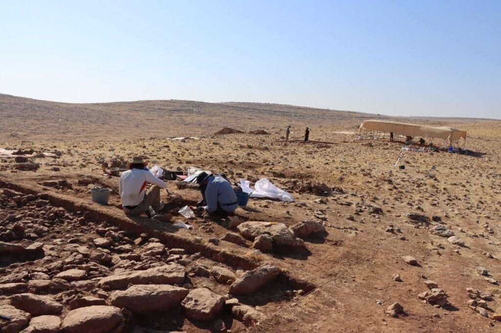
A team from the Chiba Institute of Technology, the University of Tokyo and the Şanlıurfa Archaeology Museum, led by Kazuya Shimogama, ran the first geophysical survey to cover the entire mound of Harbetsuvan Tepesi — a small, roughly 5,900 m² Pre-Pottery Neolithic B site. The methods were topographic survey, magnetometry and ground-penetrating radar; the results were published in the journal Archaeological Prospection in 2025.
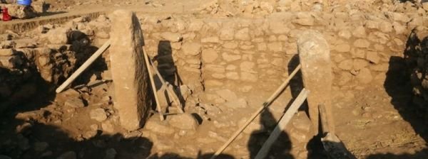
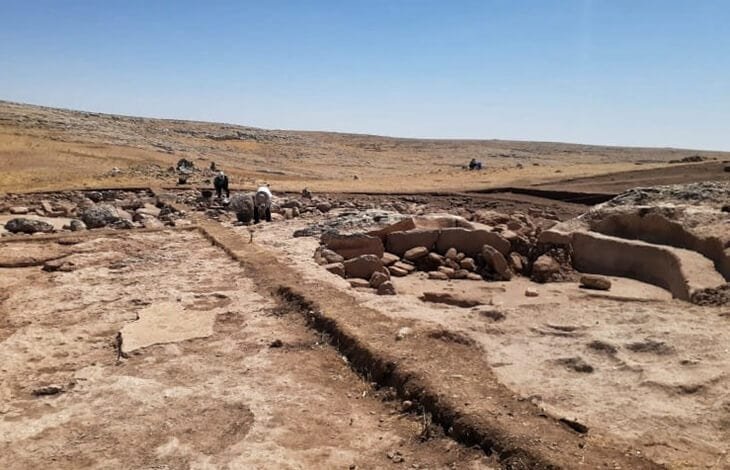
What the instruments drew was a surprise: a dense cluster of at least fifty small rectangular rooms packed near the centre of the mound, with no large open spaces and no oversized monumental structures anywhere on the site.
Why 'no monuments' is the story
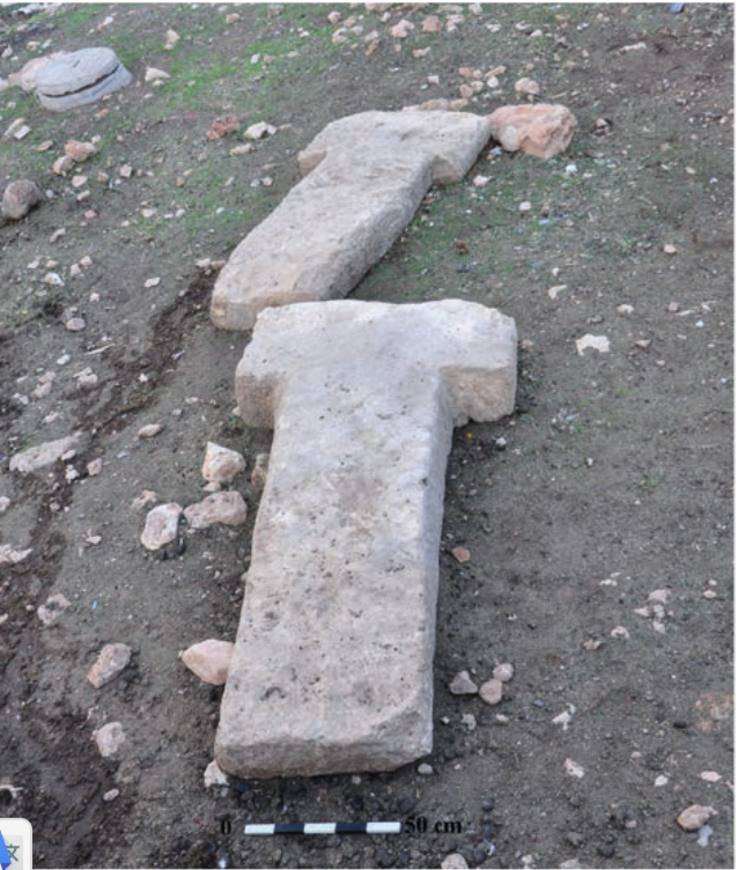
Every headline Taş Tepeler site is defined by the monumental — Göbekli Tepe's great enclosures, Karahan Tepe's pillared halls, Sayburç's reliefs. Harbetsuvan, only about 7 km from Karahan Tepe, has none of that. It looks like an ordinary, densely built village.
That matters because it fills in the other half of the picture. If we only ever dig the spectacular sites, we learn what these people built to gather in, not what they built to live in. A settlement of small rooms and no monuments is the everyday backdrop the great sanctuaries stood against — and it suggests the region held a range of site types, not a row of identical temple-hills.
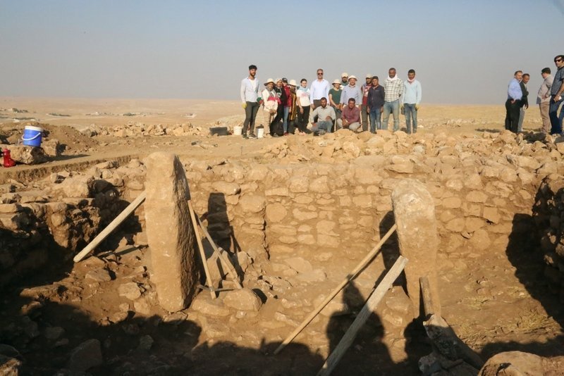
An international dig, quietly
Harbetsuvan is one of the Taş Tepeler project's international collaborations — a Japanese–Turkish team that has run a renewed excavation since 2022, following sounding trenches dug in 2017–2019. It sits alongside the British team now at Mendik Tepe and the Chinese team at Yoğunburç as a sign of how many hands the project has drawn in.
Why 'an ordinary village' is worth a headline
Every famous Taş Tepeler site is defined by the monumental — Göbekli Tepe's great enclosures, Karahan Tepe's pillared halls, Sayburç's reliefs. Harbetsuvan, only about seven kilometres from Karahan Tepe, has none of it: a dense cluster of at least fifty small rectangular rooms, no large open spaces, no oversized structures.
That fills in the other half of the picture. If we only ever dig the spectacular sites, we learn what these people built to gather in, not what they built to live in. A settlement of small rooms and no monuments is the everyday backdrop the great sanctuaries stood against, and it suggests the region held a range of site types rather than a row of identical temple-hills.
How you map a site without digging it
The survey covered the entire mound using topographic survey, magnetometry and ground-penetrating radar — instruments that read buried walls and features from the surface without lifting a trowel. The results were published in the journal Archaeological Prospection in 2025, which makes this an unusually solid basis for Taş Tepeler: a peer-reviewed survey rather than a press release.
Its limits are honest ones. Geophysics maps buried walls; it does not date them or tell you what happened inside. The fifty-plus rooms are a plan read from instruments, and excavation may show they were not all in use at once, or were rebuilt over generations — the site's own excavators already describe an early occupation in three phases. What the rooms held is for the trowel to say.
Read alongside the great enclosures nearby, an ordinary village helps show that the Taş Tepeler world was built from everyday places as much as from spectacular ones.
What is uncertain
Geophysics maps buried walls; it does not date them or tell you what happened inside. The fifty-plus rooms are a plan read from instruments, and excavation may show they were not all in use at once, or were rebuilt over generations. The site's own excavators describe an early occupation in three phases, so 'a village' is a simplification of a longer story.
The picture here is unusually solid for Taş Tepeler — a peer-reviewed survey rather than a press release — but it is a survey. What the rooms held is for the trowel to say.
Common questions
What makes Harbetsuvan different? Unlike Göbekli Tepe or Karahan Tepe it has no great pillars or public enclosures — just about fifty small rectangular rooms, so it reads as an ordinary village.
How was it studied? A Japanese–Turkish team ran the first geophysical survey to cover the entire mound, using topographic survey, magnetometry and ground-penetrating radar.
How reliable is the picture? It comes from a peer-reviewed 2025 survey, but geophysics maps buried walls without dating them — what the rooms held is for excavation to say.
Key takeaways
- A Japanese-led survey mapped the whole of Harbetsuvan and found no monuments — just a dense warren of small rooms.
- The instruments drew a packed cluster of at least fifty rectangular rooms, with no large open spaces.
- Only ~7 km from Karahan Tepe, it reads as an ordinary village — the everyday backdrop to the great sanctuaries.
- It is an unusually solid result — a peer-reviewed survey, not a press release.
Sources
- Shimogama et al. (2025), Archaeological Prospection — geophysical survey of Harbetsuvan Tepesi
- Anatolian Archaeology — Harbetsuvan Tepesi reveals an organized Neolithic settlement
This article is written from the primary literature and excavators' reports cited above. Interpretations are attributed; uncertainties are stated in the text.